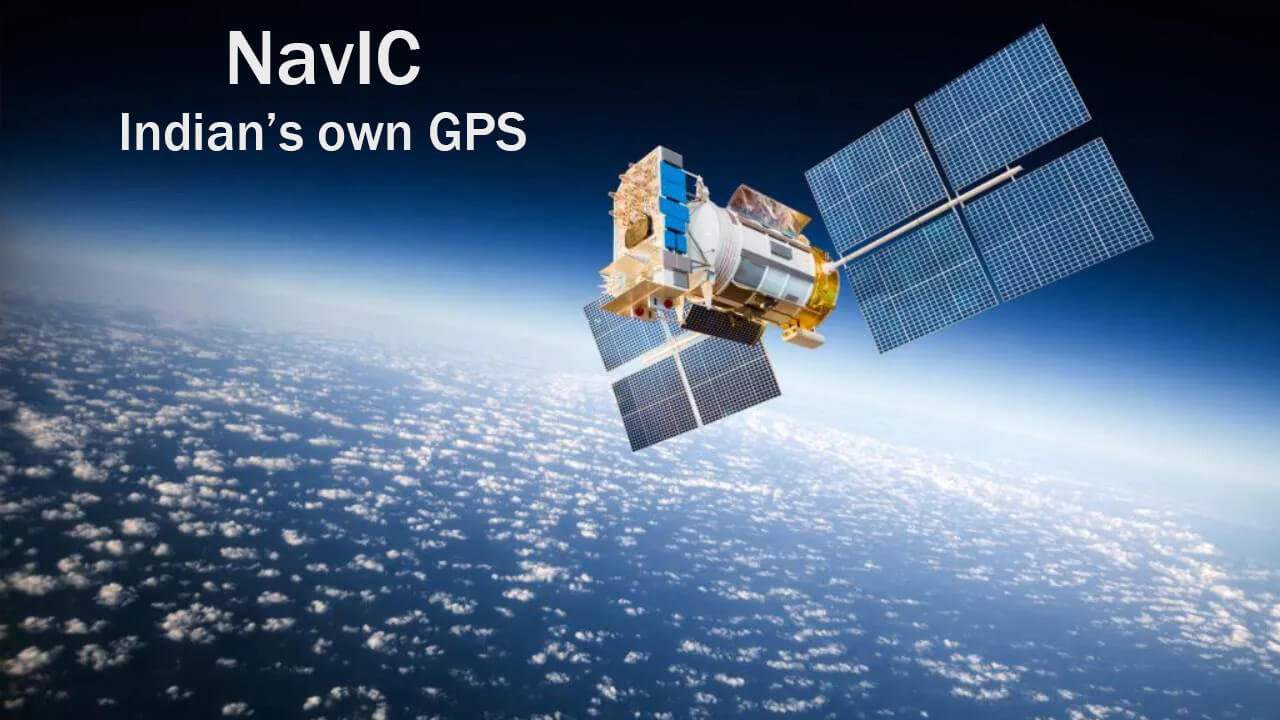
NavIC is India’s own navigation system – Navigation with Indian Constellation is the operational name of the Indian Regional Navigation Satellite System (IRNSS) developed by ISRO.
Unlike GPS which is a Global tracking constellation, NavIC has been designed to focus speciaifically on India and adjoining regions (1500 Kms around India) and is a very significant achievement for the country.
NavIC’s Standard Positioning Service (SPS) is available to civilians, but the system also has another level of Restrictive Service (RS) that is encrypted and much more accurate (in the range of 1 to 5 meters), and meant for defence applications and use by armed forces. NavIC currently consists of 7 Satellites.
Actually, NavIC was supposed to include 7 satellites and 2 backup satellites, but the Atomic clock of the first satellite, IRNSS 1A, replaced by IRNSS 1I and completed the constellation.
In the future, ISRO will add more satellites to the system with home developed Atomic clocks to further improve the NavIC.
GPS or Global Positioning System tracks the entire globe and is maintained by the USA. The constellation requires 24 Satellites to be operational and has around 31 satellites in orbit. All of these are Geosynchronous Satellites, which is to say that they are not stationary in space with respect to the revolving earth.
India’s Navic has currently 3 Geostationary satellites and 4 geosynchronous satellites, and these satellites are situated in much higher orbit (signal is less prone to obstructions). NavIC satellites use dual frequency bands (L5-band and S-band), which is why the system is relatively more accurate than GPS (that uses a single band and makes compensation for error due to signal deterioration by the atmosphere).
