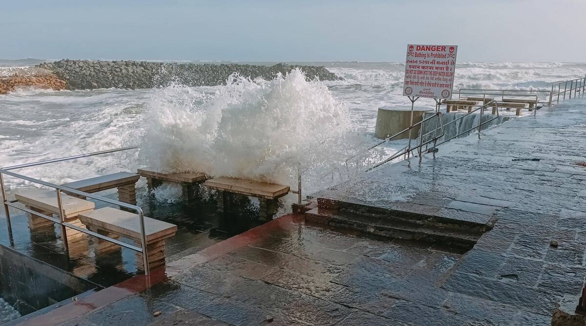
Coasts of Gujarat are preparing to be hit by a cyclone this month after a huge gap of 25 years.
As per the forecast issued by the India Meteorological Department (IMD), if realized, Biparjoy will be only the fifth cyclone of the ‘severe’ or higher category (with a wind speed up to 63 km/hr) to cross Gujarat. The data suggested that Biparjoy is the third ‘extremely severe’ cyclone to develop in the Arabian Sea in June in 58 years.
According to the IMD’s cyclone atlas, since 1891, only five cyclones of the ‘severe’ category (with a wind speed ranging between 89-117 km/hr) or above have made landfall over Gujarat in June. All of these landfalls occurred after 1900. These ‘severe’ or higher intensity cyclones occurred in 1920, 1961, 1964, 1996, and 1998. The IMD’s data stated that a total of 16 depressions and cyclones formed in the Arabian Sea have reached Gujarat in the past 132 years.
The IMD has predicted that the ‘extremely severe’ Cyclone Biparjoy (with wind speeds reaching up to 119 km/hr) is expected to cross Saurashtra-Kutch and Pakistan between Mandvi, Gujarat, and Karachi, Pakistan near Jakhau Port in Gujarat by Thursday afternoon as a ‘very severe’ cyclone with a maximum wind speed up to 135 km/hr. As of 8:30 am on Monday, Biporjoy was located 320 km south-southwest of Porbandar, 360 km south-southwest of Dwaraka, 440 km south of Jakhau Port, 440 km south-southwest of Naliya, and 620 km south of Karachi, Pakistan, according to the latest cyclone update from the Met department.
In terms of naming, although it is a more recent initiative, a ‘severe’ cyclone with a maximum wind speed of 100 km/hr made landfall near Diu on June 18, 1996. Another storm crossed as an ‘extremely severe’ cyclone with a maximum wind speed of 166 km/hr near Porbandar on June 9, 1998.
Cyclone Biparjoy is unique in its intensity and pace of movement in the sea since last week. The North Indian Ocean basin experiences the maximum cyclogenesis in the months of May and November. Generally, June is not conducive to the development of cyclones in this basin due to the dominance of the monsoon wind flow.

According to the IMD, the probability for a depression to intensify into a ‘severe’ cyclone or higher in June is about 35 percent across the land, the Bay of Bengal, and the Arabian Sea combined. This is why there have been only two previous cyclones, in 1977 and 1998, that intensified into the ‘extremely severe’ category, with Biparjoy becoming the newest addition to this list.
While cyclones are more common along India’s eastern coast, some districts along the west coast, including Kerala, Konkan-Goa, north Konkan, and Gujarat, are equally susceptible to cyclones. However, the west coast is less affected due to the lower average number of cyclones formed in the Arabian Sea (1 on average) compared to the Bay of Bengal (3 on average) in a year.
The IMD has identified 72 Indian coastal districts and 24 neighbouring districts within a range of 100 km from the coast as the most vulnerable to cyclones based on hazard assessment and potential impacts such as maximum wind speed, rainfall, and other factors. These districts are further classified into four categories: ‘very highly’ prone, ‘highly’ prone, ‘moderately’ prone, and ‘less’ prone.

Among these districts, Junagadh and Kutch in Gujarat fall into the ‘highly’ prone category, while Ahmedabad, Bhavnagar, Amreli, Jamnagar, Anand, Navsari, Surat, Valsad, Bharuch, Porbandar, Rajkot, and Vadodara are classified as ‘moderately’ cyclone-prone districts. Surendranagar and Kheda are considered ‘less’ prone to cyclones. Historical IMD cyclone data also indicates that Junagadh in Gujarat has experienced four severe cyclones, while Kutch, Bhavnagar, and Porbandar have each experienced three cyclones. Amreli and Rajkot have faced two cyclones each, and Jamnagar, Ahmedabad, and Anand have each encountered one cyclone.
